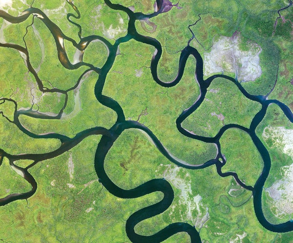
Rivers may carry as much as 1,000 tons of mercury to the world’s coastlines every year, researchers report in Nature Geoscience. This would make rivers the main way this potent neurotoxin reaches coastal oceans, where it most threatens public health.
Human mercury exposure is largely linked to coastal fisheries, where the heavy metal accumulates in marine life that we eat. But relatively little of this pollution originates along coastlines; much comes from inland sources such as wildfires, mines and coal-burning power plants. Scientists have long thought this mercury traveled primarily through the atmosphere as vapor or bound to small particles. But the new findings suggest rivers are the greatest pathway for coastal mercury.
Yale University biogeochemists Maodian Liu and Peter Raymond worked with colleagues to combine mercury measurements from rivers around the world with data and simulations describing how sediment and biological forms of carbon move through waterways. “These two elements [mercury and carbon] are linked because mercury is often bound to organic carbon in soils and rivers,” Raymond says. The researchers’ new model indicates that rivers could carry approximately three times more mercury to the coasts than the atmosphere does—and that half of this total can be traced to the planet’s 10 largest rivers.
On supporting science journalism
If you're enjoying this article, consider supporting our award-winning journalism by subscribing. By purchasing a subscription you are helping to ensure the future of impactful stories about the discoveries and ideas shaping our world today.
Researchers have estimated the amount of mercury transported by rivers before. But most such studies “are really very basic,” says Mediterranean Institute of Oceanography researcher Lars-Eric Heimbürger-Boavida, who was not involved in the new study. Most previous work used average concentrations extrapolated from measurements made in certain rivers, he notes, with researchers “assuming that other rivers work the same way.” Heimbürger-Boavida praises the study’s use of a large, worldwide data set but cautions that other research might define “coastal” differently, leading to a different final estimate of rivers’ impact as compared with the atmosphere’s.
According to Susan Egan Keane, a public health specialist at the Natural Resources Defense Council, models of the mercury cycle—how the substance enters, leaves and moves through the environment—are “the bread and butter” of mercury risk assessments. “That’s how one predicts how changes in emissions ... translate into predicted changes in fish concentration, which translate into changes in exposure to human beings,” she says.
The researchers note that many large rivers are expected to flush more water and sediment to the coasts as the climate warms, and this process could increase mercury transport. Thawing permafrost and shifting ocean temperatures could also affect the mercury cycle, Keane says.
Understanding rivers’ role is a step toward a more complete understanding of this cycle—knowledge that could help experts anticipate and respond to mercury hazards in an uncertain future and better predict how our planet will react to global efforts to reduce mercury emissions.
